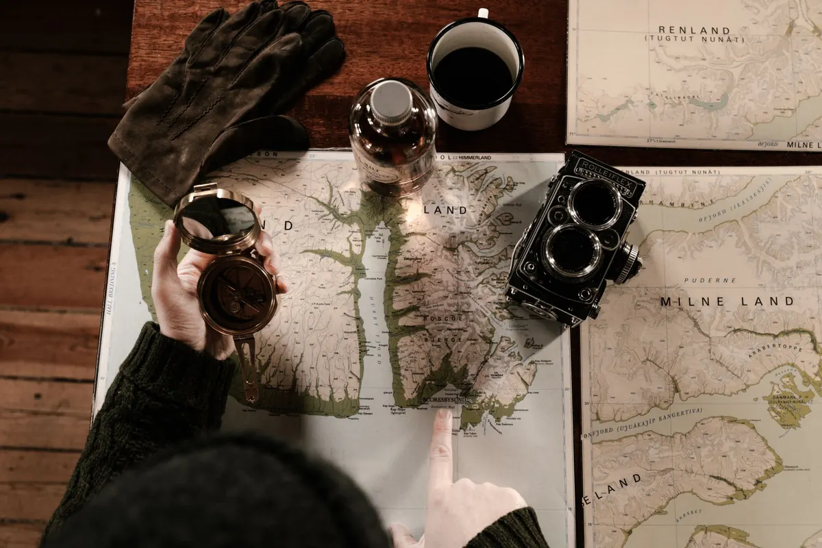
Ask a group of walkers on the same summit which map they trust and you will get two confident, opposite answers. One carries a folded Explorer, its corners softened by rain. The other has a phone in a dry bag, running an app built from OpenStreetMap. Both will usually get you off the hill. They are not interchangeable, though, and knowing where each one is strong saves a lot of standing about at a gate in the drizzle.
Ordnance Survey is a national mapping agency. Its surveyors, aerial imagery and licensing arrangements produce the Explorer series at 1:25,000 and the Landranger series at 1:50,000, plus the digital layers inside the OS Maps app. Public rights of way on those maps come from the definitive maps held by highway authorities, and open access land is shown under the Countryside and Rights of Way Act. In other words, someone with legal responsibility has signed off what you are looking at.
OpenStreetMap is a shared, editable map of the world. Volunteers walk paths with a phone in their pocket, trace field boundaries from aerial imagery, and tag what they find: a gate, a stile, a broken footbridge, the surface of a track, whether a path is waymarked. Anyone can correct it, which is both its great strength and its weak spot. In Great Britain the base mapping is patchy in places, dense in others. Northern Ireland has its own Ordnance Survey sheets, so comparisons there are slightly different.
On a wet hillside, detail means knowing whether the line on the map is a wall you can follow, a fence with no gate, or a trod that fades into heather.
OS Explorer maps are built for walkers specifically. You get field boundaries, walls, fences, gates and stiles, footbridges, permissive paths alongside public ones, access land boundaries, and contours at tighter intervals than the 1:50,000 sheets. Symbols for parking, pubs and picnic sites help with the bit before and after the walk.
Detail depends entirely on who has been there. In the Lake District, Snowdonia, the Peak District and the Yorkshire Dales, mapping is often superb, and it frequently includes things OS leaves out: path surface, how rough a scramble is, recent diversions, bus stops, toilets and water taps. In quieter corners of the Borders, mid-Wales or the Pennine fringes, a legal footpath may be missing altogether or drawn with a generous, hopeful curve. Treat OSM as excellent local knowledge rather than a legal record.
A paper map has no battery, no screen glare and no update prompt at the worst moment. That is still the strongest argument for carrying one.
Digital maps work perfectly well offline, provided you prepare. GPS reception does not need a mobile signal, so a downloaded map plus a charged phone will place you accurately on a remote ridge. The failure points are battery, water, cold and forgotten downloads.
OS paper sheets are revised on rolling cycles, and physical stock sits in shops. A sheet bought this year may reflect a survey done several years ago, which matters when a path has been diverted around a landslip or a new bridge has replaced a ford. The digital OS Maps layers refresh more often, but they still follow publishing schedules.
OpenStreetMap edits land in the database within minutes. Rendering in apps lags by days or weeks depending on the service, but it is still far quicker than any printed revision. A volunteer who finds a stile replaced by a gate this morning can have it on the map by the evening.
Speed cuts both ways. A wrong edit is just as fast, so if a mapped path looks implausible on the ground, believe your eyes, your compass and the lie of the land.
OS mapping is copyright material, so scanning or republishing it needs a licence. OpenStreetMap is open data, which is why so many walking apps can build on it.
Lowland farmland with a maze of stiles, permissive paths and a vague bridleway: take the OS Explorer. It shows rights of way with legal backing and marks access land clearly.
A popular fell day in a national park: either works, and OSM often tells you more about path condition. A long-distance trail crossing several sheets: digital is lighter and cheaper, but carry paper for the exposed stages.
If you may need to give a grid reference to a mountain rescue team, an OS map is the cleanest way to do it, and the reference will be understood immediately.
Plan at home on OpenStreetMap, where the detailed tags and recent edits reveal the shape of the day. Cross-check the route against an OS map or the OS Maps layer to confirm rights of way, access land and boundaries. Then download the relevant OSM tiles for offline use, take a screenshot of the route outline as a backup, and carry the OS sheet if the terrain is rough, remote or unfamiliar.
Mark two escape routes on the map before you set off, note the nearest road or habitation, and leave your plan with someone who will notice if you are late. Check a mountain weather forecast, not a town one. If the cloud comes down and the paths stop making sense, an OS map, a compass and the skill to use them will still work when everything with a battery has given up.
Photo: Nataliya Vaitkevich / Pexels